Geospatial Services
At OSMAT India Limited, we offer advanced Geospatial Survey services that combine modern surveying techniques with GIS and remote sensing technologies. Our surveys provide highly accurate spatial data essential for infrastructure development, land management, urban planning, and environmental monitoring.
Using cutting-edge tools like GPS, Total Station, UAV drones, and satellite imagery, we deliver precise mapping and analytics to empower smarter decision-making for government, industrial, and private sector projects.
Types -->
Topographic Survey
Utility Survey (Electrical/Water)
Forest Survey
Property Survey & Mapping
POI Survey & Mapping
At OSMAT India Limited, we offer comprehensive CAD and GIS solutions tailored to support geospatial needs across industries. Our expertise bridges the gap between design data and spatial intelligence, enabling accurate mapping, infrastructure planning, and spatial analysis.
Our CAD/GIS services include:
2D & 3D Mapping
Cadastral & Parcel Mapping
Utility Network Mapping (Electric, Water, Telecom)
Topographic Surveys
Land Use / Land Cover (LULC) Mapping
Data Conversion (CAD ↔ GIS)
Base Map Creation & Editing
Navigation & Road Asset Mapping
Georeferencing & Digitization
At OSMAT India Limited, we offer advanced LiDAR (Light Detection and Ranging) services designed to deliver highly accurate, high-resolution spatial data for a wide range of applications. Our LiDAR solutions leverage laser-based remote sensing technology to capture precise elevation and surface details, enabling smarter planning, analysis, and decision-making.
Types -->
LiDAR Data Processing
Point Cloud Classification
LiDAR Tree Classification
Powerline Classification & Vectorization
LiDAR 3D Point Cloud Annotation
Image Overlay Colorization
Breakline & Contour Generation
Orthophoto Generation
DEM / DTM / DSM Generation
Railway Corridor Classification
At OSMAT India Limited, our Photogrammetry services transform aerial imagery into precise, measurable data for advanced geospatial analysis. Using high-resolution images captured via drones and aircraft, we extract 3D spatial information to generate topographic maps, digital elevation models (DEM), orthophotos, and detailed site models.
Our team leverages cutting-edge photogrammetric techniques to support industries such as urban planning, construction, agriculture, forestry, and infrastructure development. Whether it's for large-scale mapping or project-specific analysis, we deliver accurate, high-quality data tailored to your geospatial needs.
Types -->
Aerial Photogrammetry
Terrestrial (Close-range) Photogrammetry
Satellite Photogrammetry
Oblique Photogrammetry
Stereo Photogrammetry
Drone/UAV Photogrammetry
Infrared and Thermal Photogrammetry
- Survey
- CAD / GIS
- Remote sensing Lidar Services
- Photogrammetry
Some Visual Demonstrations >
Explore visual highlights of some of the high-quality projects we’ve successfully delivered to our valued clients. Each showcase reflects our commitment to precision, innovation, and excellence.
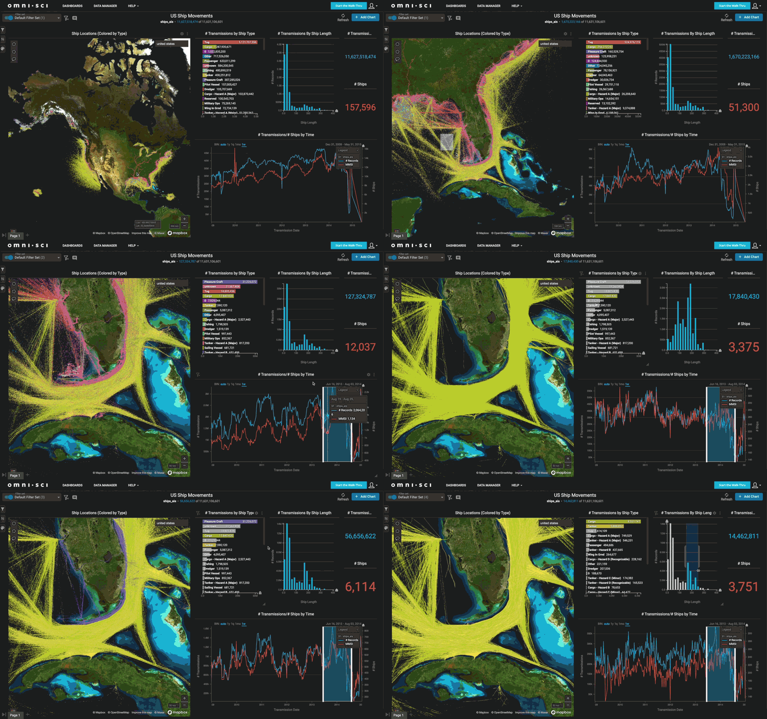
Geospatial Survey
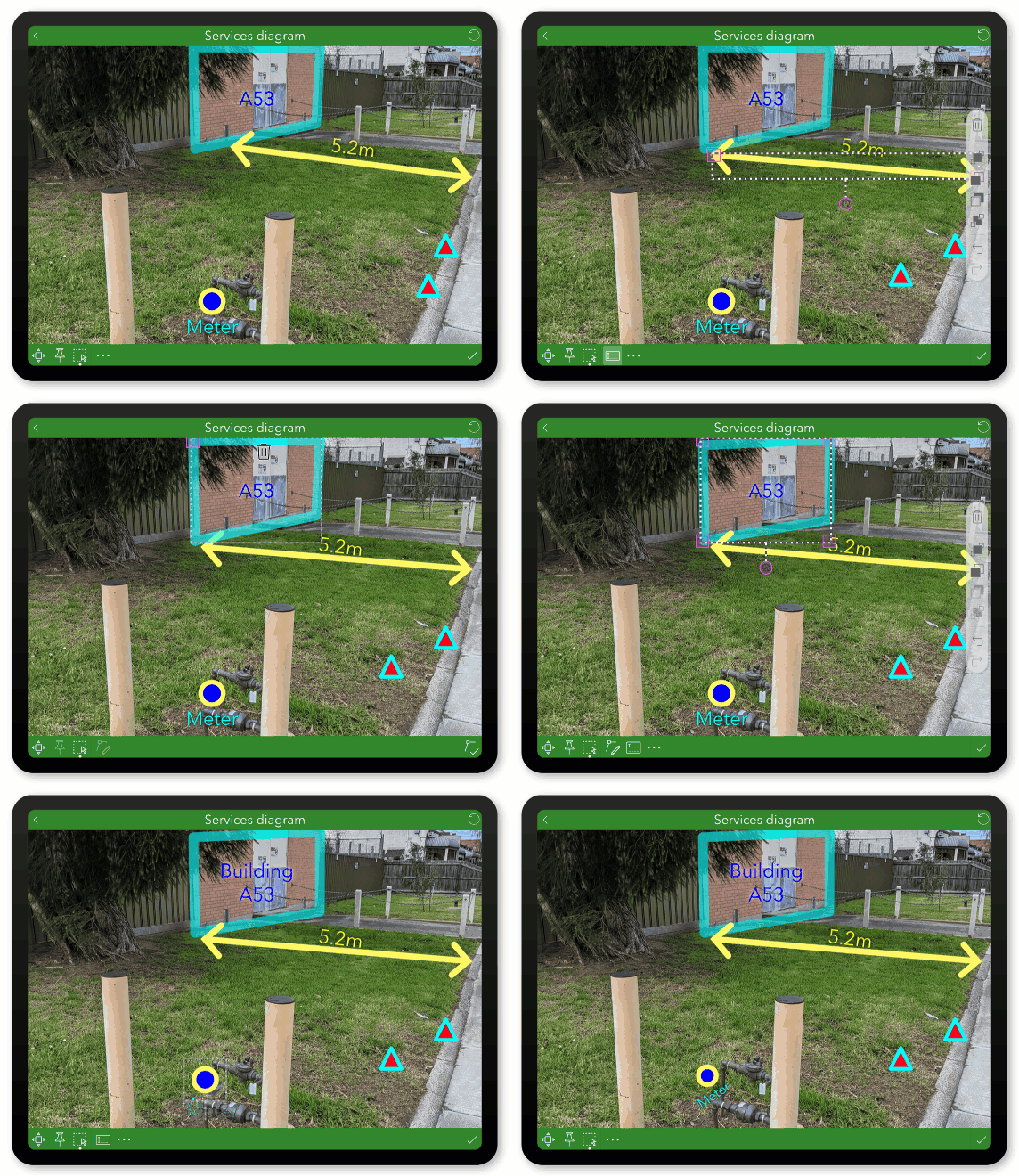
CAD /GIS
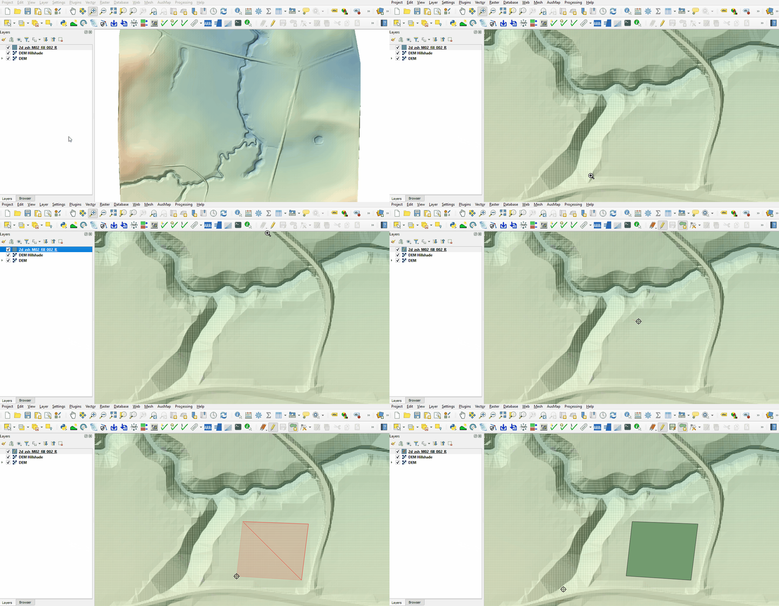
Remote Sensing LIDAR Services
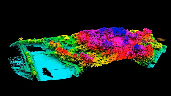
3D Photogrammetry
Industries We Serve
we proudly cater to a wide range of industries by delivering innovative, technology-driven solutions tailored to their unique needs. Our expertise in AI/ML, CAD & GIS Mapping, software development, and digital transformation allows us to support organizations across sectors with precision and efficiency.
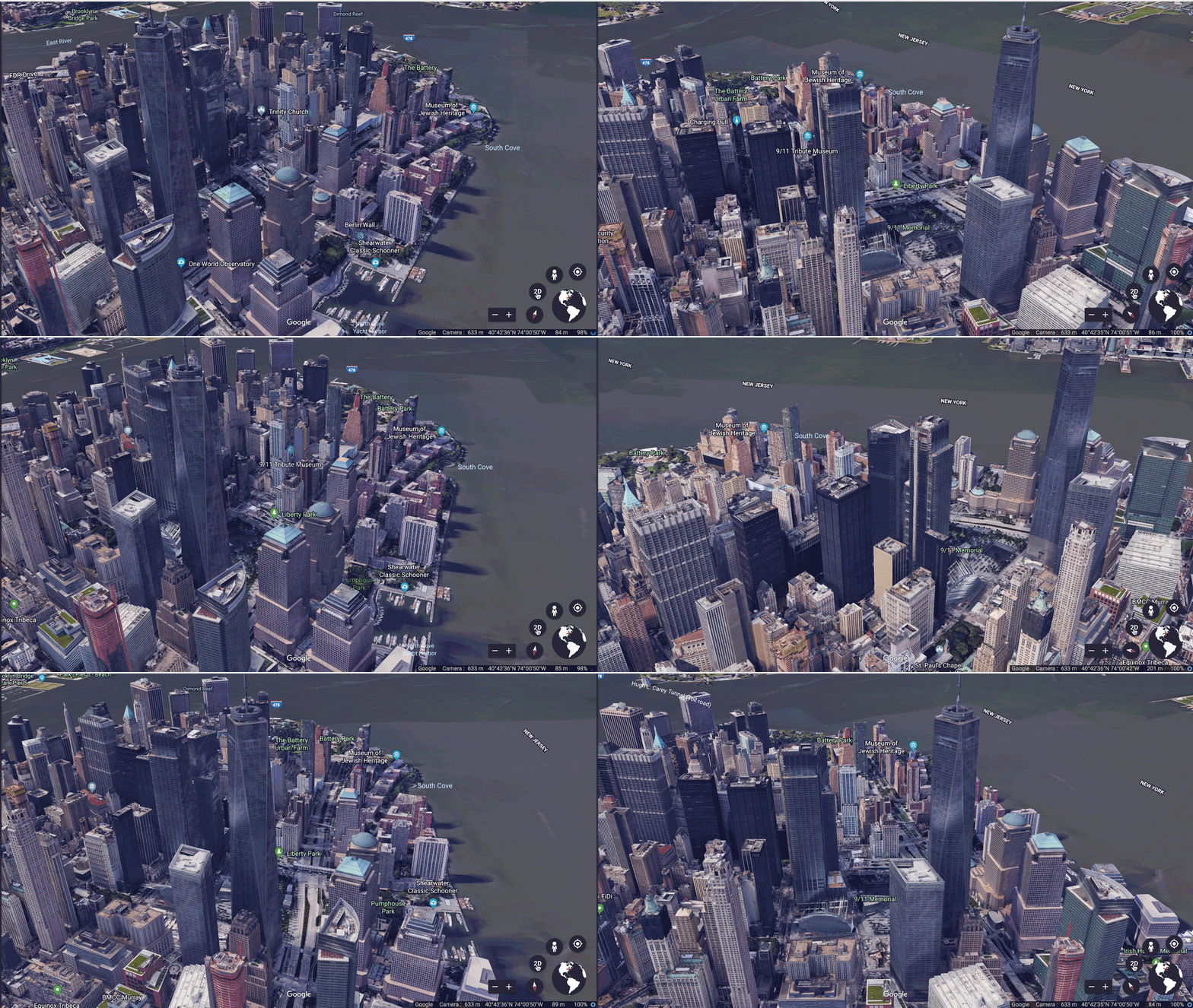
Urban Planning
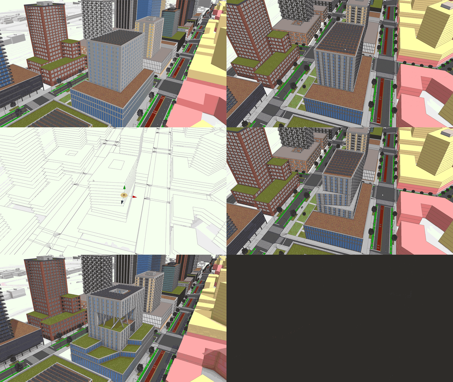
Agriculture

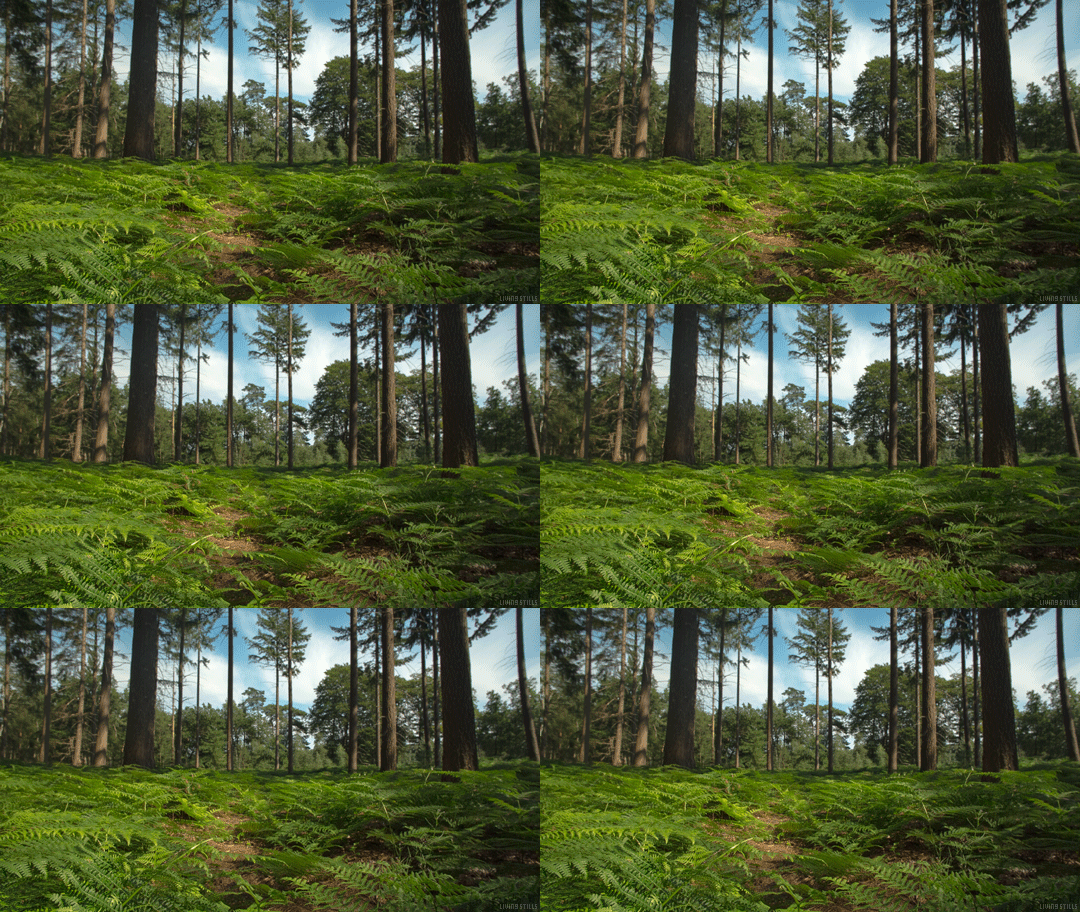
Forestry
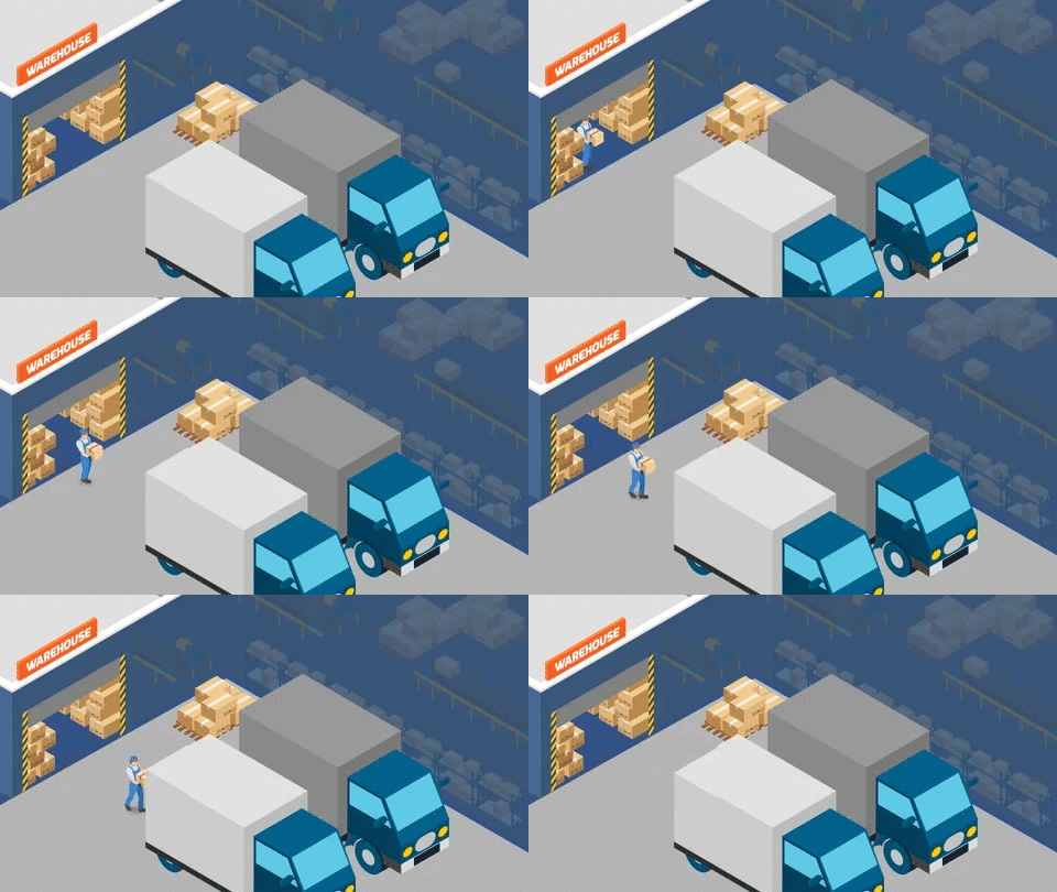
Transportation & Logistics
Oil & Gas

Mining
And a lot more Industries We are catering on.

